Map Skills for Kids: How to Teach Coordinates & Scale Without Boring Worksheets
Map skills for kids don’t have to begin with boring worksheets. In fact, children learn geography best when maps become adventures filled with exploration, games, and real-world discovery.
Have you ever handed your child a geography worksheet only to watch their excitement disappear within minutes?
For many children, learning map skills sounds interesting at first. They love treasure hunts, pirate maps, secret routes, and adventures. But once maps become pages of memorization, coordinate drills, and repetitive worksheets, curiosity quickly fades.
The good news is that map skills don’t have to feel like schoolwork.
In fact, some of the most important geography concepts can be taught through games, exploration, and hands-on activities that children genuinely enjoy.
Whether you’re homeschooling, helping with homework, or simply looking for educational screen-free activities, this guide will show you how to teach map skills in a way that feels like an adventure instead of another lesson.
Why Map Skills for Kids Are So Important
Maps are much more than pictures of places.
When children learn how to read maps, they begin developing skills they will use throughout their lives.
Map activities help children:
- build spatial awareness
- strengthen critical thinking
- improve observation skills
- solve problems independently
- understand how the world is connected
- prepare for future geography lessons
Even something as simple as finding a location on a grid teaches logical thinking, sequencing, and attention to detail.
Children who become comfortable reading maps often gain confidence in science, geography, history, and even mathematics because many of the same thinking skills are involved.
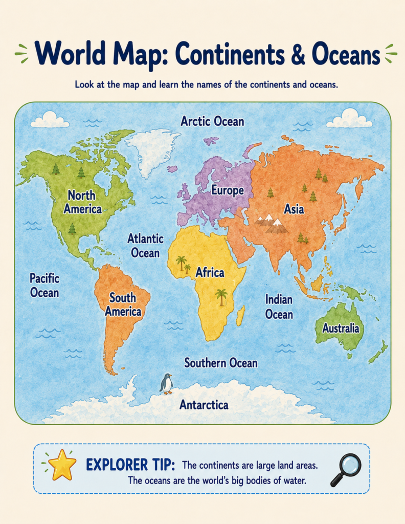
Map skills are just one part of helping children understand the world. If you’re looking for more hands-on geography ideas, don’t miss our guide on How to Teach Continents and Oceans Without Boring Books, where you’ll discover simple activities that make world geography fun from the very first lesson.
Why Traditional Geography Worksheets Often Fail
Many geography workbooks still rely on one simple formula:
Read.
Memorize.
Repeat.
Label the map.
Fill in the blanks.
Complete another worksheet.
While repetition certainly has value, it rarely creates excitement.
Children remember experiences far better than lists of facts.
Think about the difference between these two activities:
Worksheet: Label the continents.
Adventure: Your explorer ship has reached a mysterious island. Can you identify which continent you’re about to discover?
The educational goal is identical.
The experience is completely different.
When children feel like explorers instead of students, learning becomes something they actively want to continue.
Five Fun Ways to Teach Map Skills at Home
1. Turn Your House Into a Treasure Hunt
Children naturally love searching for hidden objects.
Draw a simple map of your home or backyard and hide a small treasure.
Use directions like:
- Walk north three steps.
- Turn east.
- Cross the bridge.
- Find the tree.
Without realizing it, children begin practicing orientation, map reading, and directional vocabulary.
2. Explore Real Maps Together
Instead of only using educational worksheets, let your child explore real maps.
Look at:
- your neighborhood
- a local park
- a zoo
- a national park
- vacation destinations
Ask questions like:
«Where do you think the entrance is?»
«What river is nearby?»
«Which direction would we travel?»
These conversations help children connect maps to the real world.
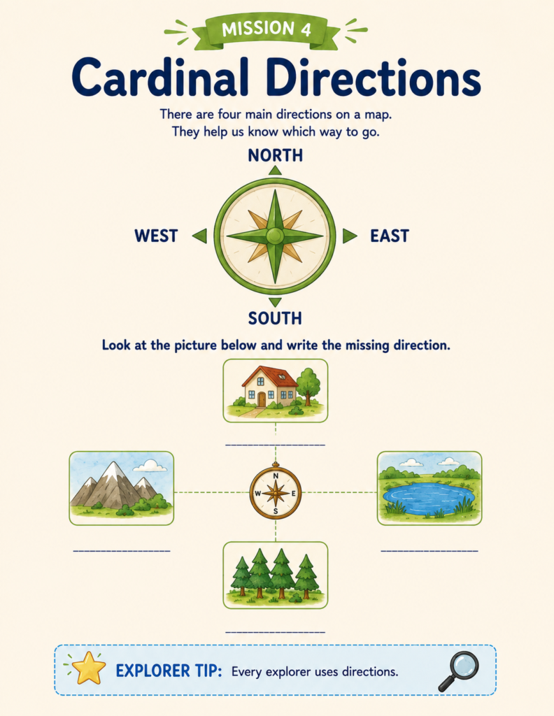
3. Practice Compass Directions Every Day
North.
South.
East.
West.
These four simple directions become much easier to remember when children physically move.
Play games such as:
- «Take two steps north.»
- «Point toward the east.»
- «Which direction is the kitchen?»
Movement makes abstract concepts easier to understand.
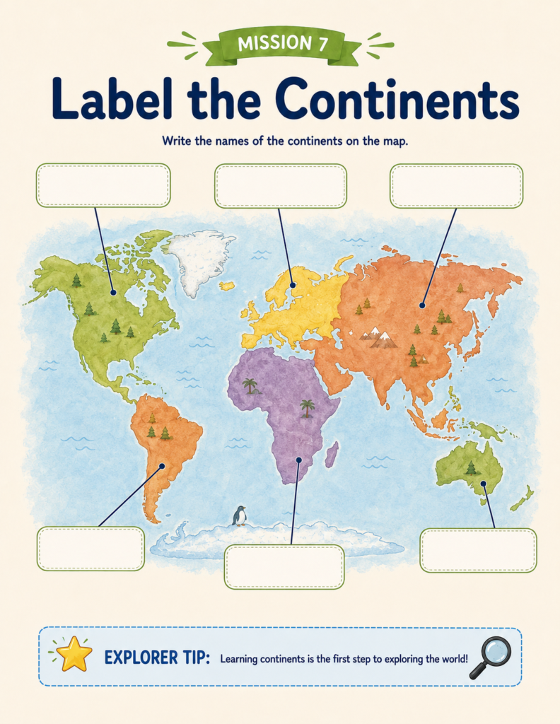
4. Learn Continents Through Exploration
Instead of memorizing a list of continents, turn each one into a destination.
Ask questions like:
- Which continent has kangaroos?
- Where do penguins live?
- Can you find Africa?
- Which ocean surrounds Antarctica?
Suddenly, maps become stories instead of diagrams.
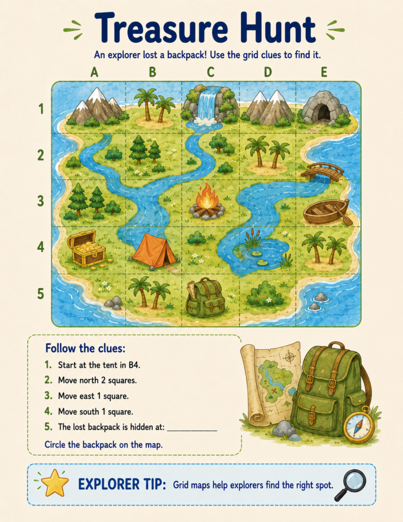
5. Make Coordinates Feel Like a Puzzle
Many children become nervous when they first see map grids and coordinates.
But grids are really just puzzles.
Hide objects on a simple letter-and-number grid.
Instead of saying:
«Find B4.»
Say:
«The treasure is hidden at B4!»
The lesson instantly becomes a game.
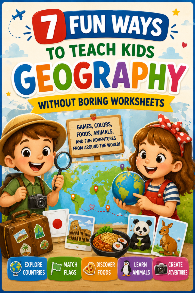
Looking for even more screen-free geography activities? Check out our collection of 10 Fun Geography Activities for Kids That Make Learning Feel Like Play, filled with simple games, mapping challenges, and creative ideas for home or the classroom.
Building Map Skills Step by Step
One mistake many parents make is introducing advanced concepts too early.
Children learn best when each new idea builds naturally on the previous one.
A simple progression looks like this:
- What is a map?
- Map symbols
- Compass directions
- Continents
- Oceans
- Hemispheres
- Equator
- Prime Meridian
- Latitude and longitude
- Coordinate grids
- Real-world map challenges
This gradual approach keeps children confident while continuously introducing new discoveries.
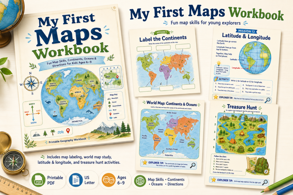
Learning Through Adventure Instead of Memorization
The most successful educational resources all share one thing in common:
They transform learning into a mission.
Instead of completing isolated worksheets, children move through a sequence of connected challenges.
Each activity feels like another step in an expedition.
They aren’t simply answering questions.
They’re exploring.
Discovering.
Solving.
Creating.
That shift in mindset changes everything.
A Workbook Designed Like an Adventure
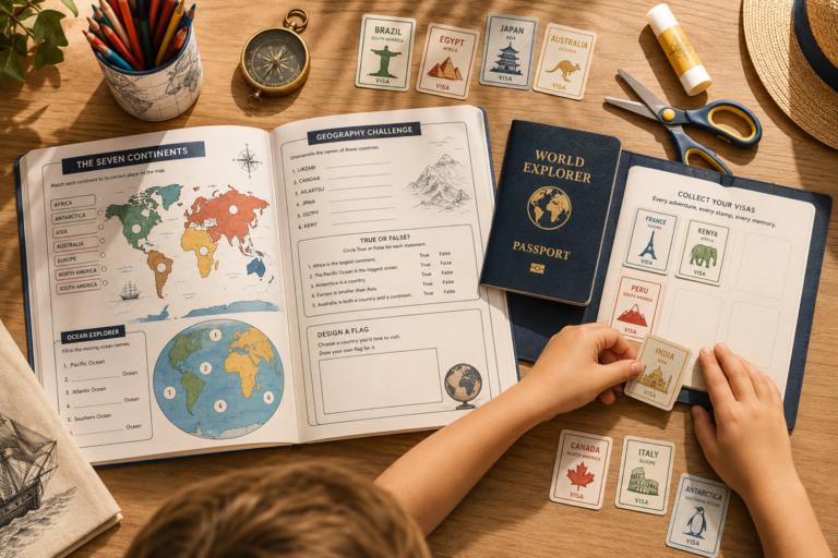
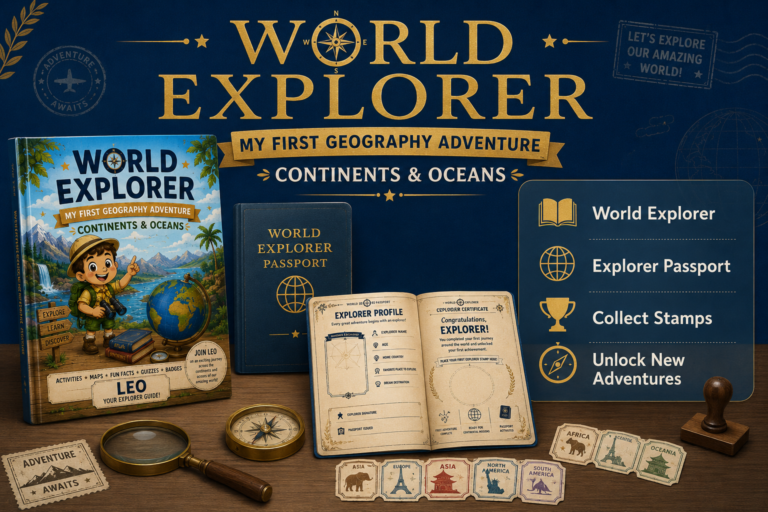
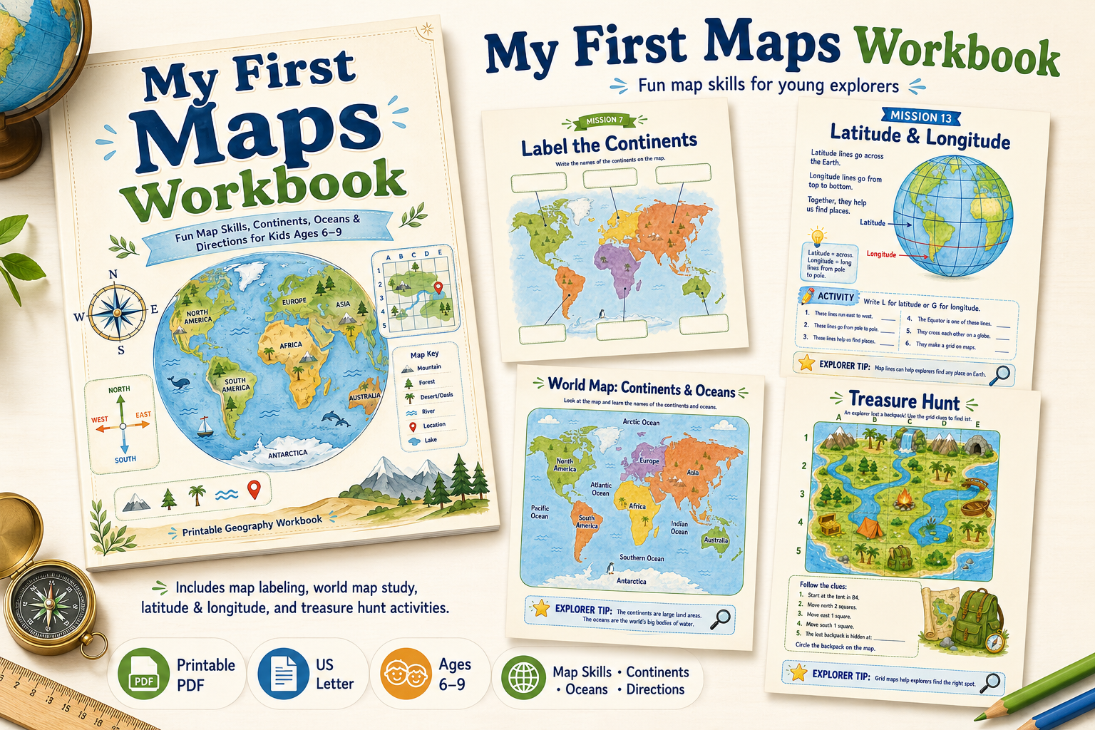
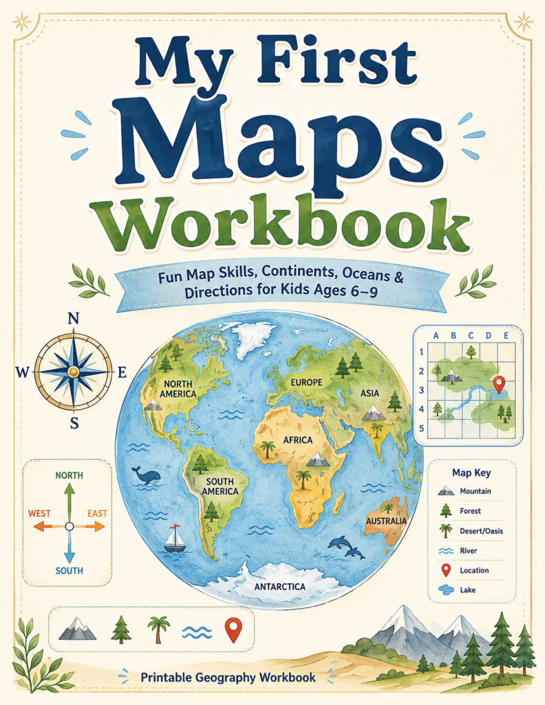
One resource that follows this philosophy is the My First Maps Workbook from the World Explorer collection.
Instead of presenting geography as isolated facts, the workbook guides children through a complete exploration journey.
Young explorers begin by learning what maps are before discovering map symbols, compass directions, continents, oceans, hemispheres, the Equator, the Prime Meridian, latitude and longitude, and coordinate grids through short interactive missions. The journey concludes with a final cartographer test, a certificate of achievement, and an invitation to continue exploring the larger World Explorer ecosystem.
Rather than overwhelming children with long lessons, each activity introduces one concept at a time while encouraging observation, problem-solving, and curiosity.
Skills Children Build Along the Way
By completing the workbook, children practice how to:
- recognize common map symbols
- use a map key
- understand compass directions
- identify all seven continents
- identify the five oceans
- distinguish between hemispheres
- understand the Equator and Prime Meridian
- recognize basic latitude and longitude
- read map grids
- solve simple coordinate puzzles
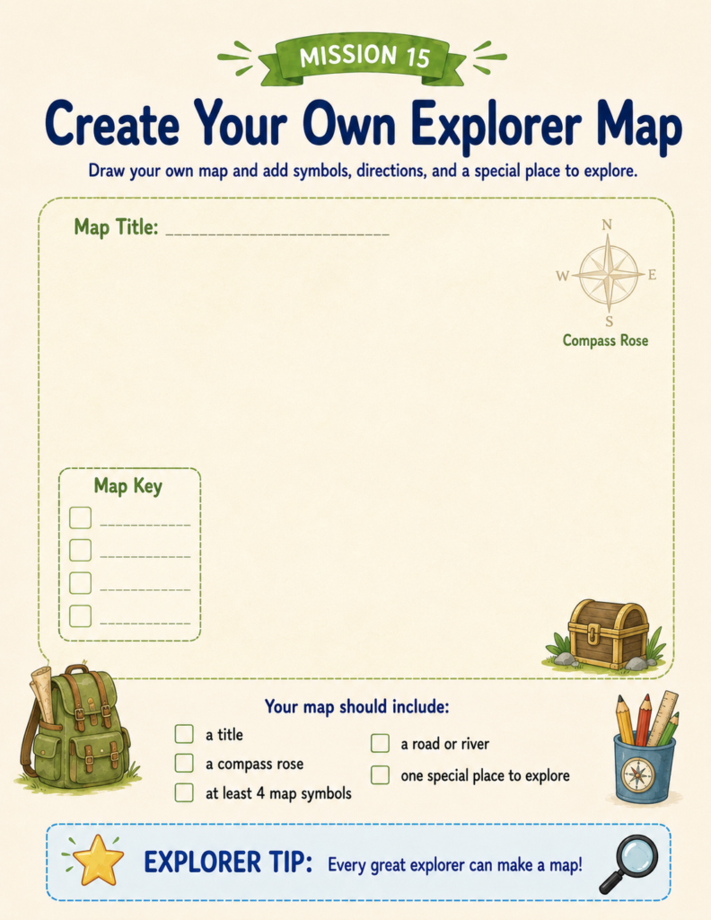
- create their own maps
More importantly, they begin viewing geography as an exciting subject rather than another school assignment.
Keep the Adventure Going
Learning maps is only the beginning.
Once children understand how to navigate the world, they naturally become curious about the places on those maps.
Which animals live there?
What languages do people speak?
What famous landmarks can they discover?
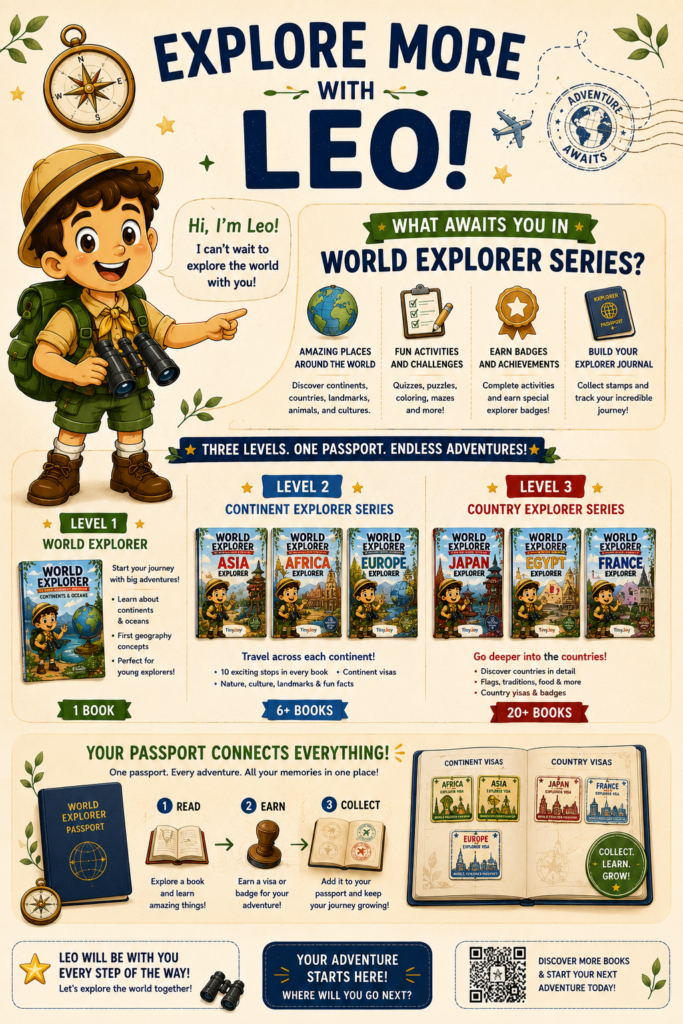
This curiosity is exactly what the World Explorer series is designed to encourage.
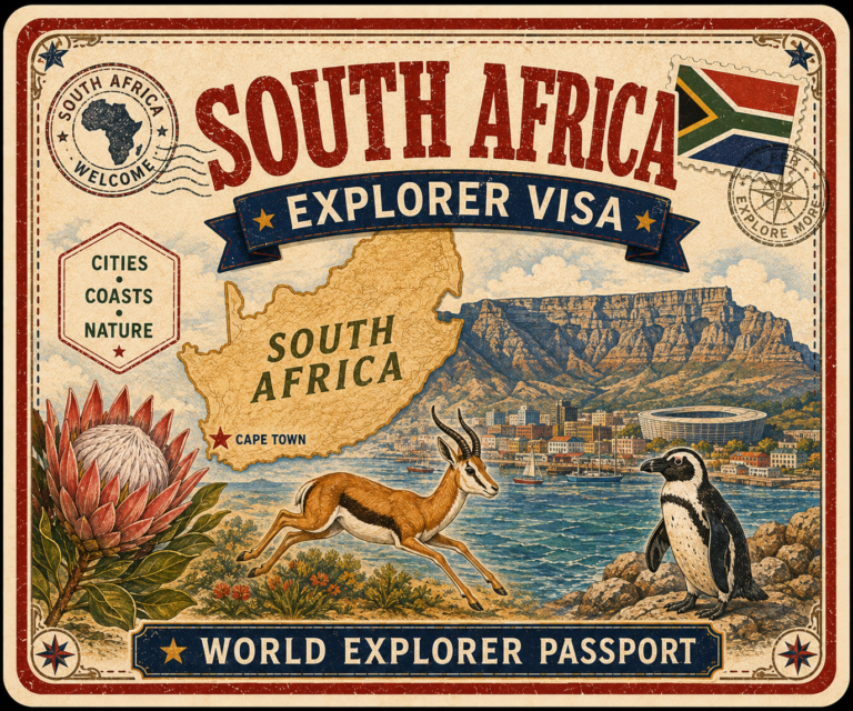
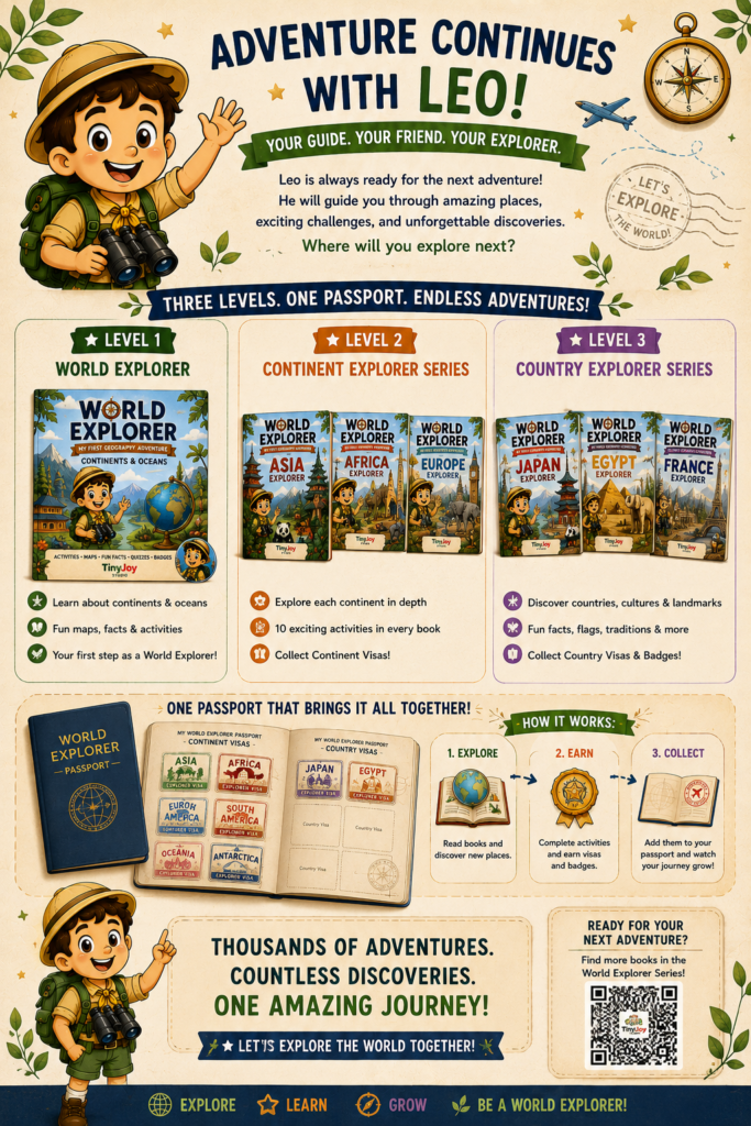
Children can continue their journey through continent books, country adventures, collectible passports, explorer visas, and achievement badges, turning geography into an ongoing adventure instead of a single lesson.
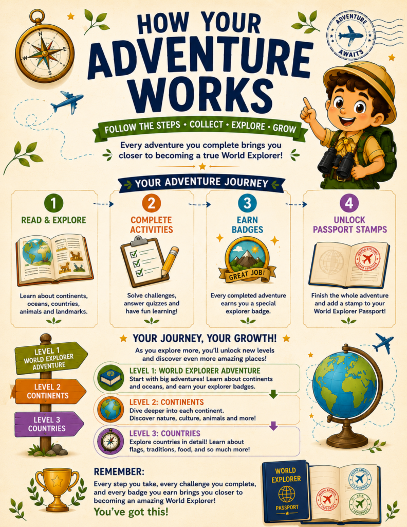
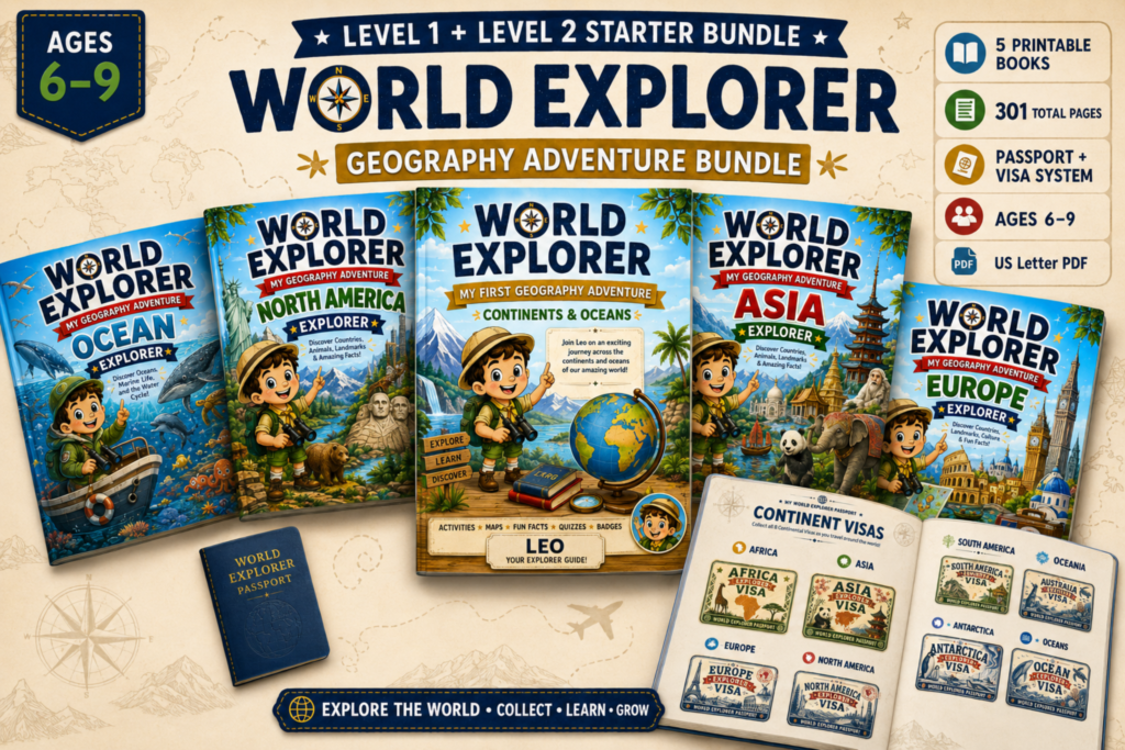
Once your child becomes comfortable reading maps, they’re ready to start exploring real places. Our guide to the World Explorer Passport System shows how children can collect explorer visas, earn badges, and build their own geography adventure across continents and countries.
Final Thoughts
Maps are one of the first tools children use to understand the world around them.
When map skills are taught through curiosity, storytelling, and exploration, children don’t simply memorize geography—they begin thinking like explorers.
Instead of asking your child to complete another worksheet, invite them on an adventure.
A treasure map, a compass, a few exciting challenges, and a little imagination can transform geography into one of their favorite subjects.
Because every great adventure begins with learning how to read the map.