Teach Continents and Oceans Without Boring Books: 5 Ideas
If you have ever tried to teach continents and oceans to a 6- to 9-year-old using standard school textbooks, you already know how quickly the lesson can derail. You open to a flat, two-dimensional world map, point to large landmasses, and ask your child to memorize their names. Within minutes, eyes glaze over, fidgeting begins, and what should be an inspiring journey across our planet turns into a frustrating battle over boring black-and-white worksheets.
Why does traditional geography instruction fall so flat in the early elementary years? Because young children do not experience the world as abstract labels on a page. To a 7-year-old, memorizing that «Asia is east of Europe» is just meaningless trivia. They need to feel the physical boundaries of land, visualize the vastness of the global ocean, and connect spatial awareness to active play.
When we strip away dry rote memorization and replace it with tactile experiments, movement, and gamified storytelling, global earth science suddenly comes alive. In this guide, we will explore 5 simple, hands-on activities to teach continents and oceans without relying on boring textbooks or repetitive worksheets. Plus, we will introduce a brilliant passport-based curriculum designed to make foundational world geography the most anticipated part of your homeschool week!
Why Worksheets Fail Young Explorers (Ages 6–9)
Before we dive into the activities, let’s look at the cognitive science behind why traditional paper worksheets often fail young learners:
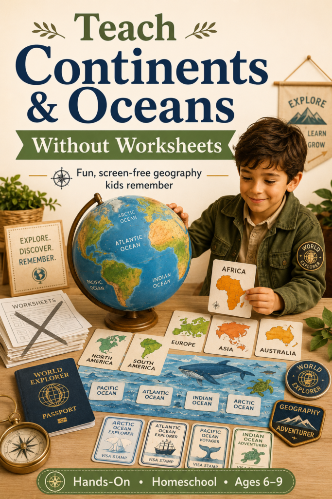
- The 2D Disconnect: Young brains are still developing spatial reasoning. Looking at a flat projection of the Earth distorts size and distance, making it difficult for children to understand how continents actually curve and fit together around a globe.
- The Memorization Trap: Drill-and-kill worksheets store information in short-term memory. Once the Friday quiz is over, the brain rapidly discards abstract names that lack emotional or sensory context.
- Lack of Personal Agency: Filling in blank circles on a map is a passive chore. Children learn best when they are active participants—acting as pilots, cartographers, or scientists solving a real-world mystery.
(If you want to dive deeper into the neurological benefits of active play, explore our comprehensive guide on why educational games help kids learn better: the science behind play-based learning.)
5 Hands-On Ways to Teach Continents and Oceans
You do not need an expensive curriculum box or hours of Sunday night lesson prep to bring earth science to life. These five tactile, screen-free activities use basic household items to transform abstract geography into concrete mastery.
1. The «Living Room Globe» (Active Movement & Spatial Mapping)
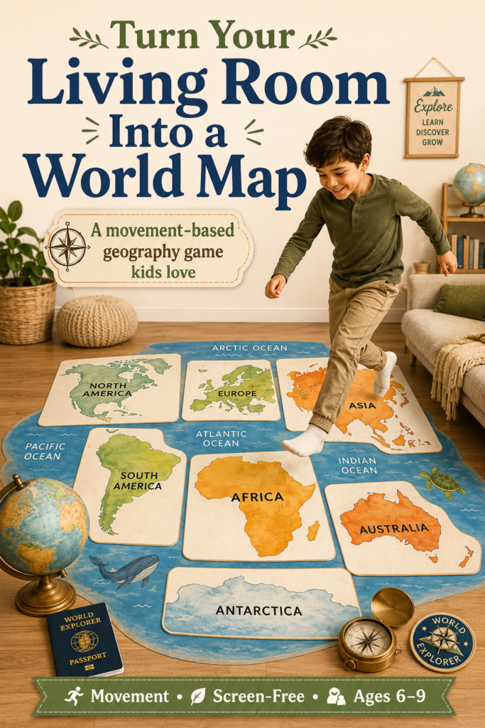
Instead of staring at a map at the kitchen table, use physical movement to teach the layout of the Earth.
- The Setup: Write the names of the 7 continents on separate pieces of colored paper or cardboard scraps. Place them across your living room floor or backyard, leaving wide gaps of floor space in between to represent the 5 major oceans (Pacific, Atlantic, Indian, Southern, and Arctic).
- The Activity: Turn your child into an explorer pilot! Call out flight directions: «We need to fly from North America across the Atlantic Ocean to land in Europe!» Your child must physically run, leap over the «ocean floor,» and land safely on the correct paper continent.
- Why It Works: Kinesthetic learning connects bodily movement to spatial memory, helping kids remember the relative locations of land and water almost instantly.
2. Clay Continental Drift (Tactile Earth Science)
Children understand concepts deeply when they build them with their own hands. This sensory activity explains how landmasses are formed and separated.
- The Setup: Take a large baking sheet or a shallow plastic bin. Give your child a block of modeling clay or playdough and challenge them to sculpt rough shapes of the 7 continents.
- The Activity: Have them arrange the clay pieces together into one giant supercontinent (Pangaea). Then, let them slowly slide the clay landmasses apart to their current global positions. Once the continents are in place, pour water tinted with blue food coloring into the bin to surround the land.
- Why It Works: Seeing the blue water rush in to fill the Atlantic and Indian Oceans turns abstract plate tectonics and continental definitions into an unforgettable sensory experiment.
3. The «Animal Habitat» Sort (Interdisciplinary Biology)
Geography does not exist in a vacuum. The easiest way to help a child remember a continent is to anchor it to the unique wildlife that lives there.
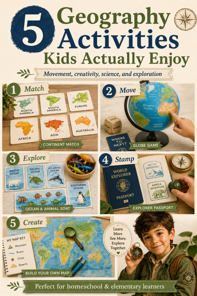
- The Setup: Gather a collection of small toy animals (or print out simple animal pictures)—such as a kangaroo, a lion, a panda, a bald eagle, and a penguin.
- The Activity: Lay out your map or clay continents. Challenge your child to act as a wildlife biologist and return each animal to its native continental home. Discuss why a polar bear needs the icy Arctic Ocean while a giraffe thrives on the African savanna.
- Why It Works: Connecting earth science to zoology creates rich neural networks. (To see how animal facts supercharge lessons, read our guide on how animal activity books make learning more fun.)
4. Musical Ocean Currents (Sensory & Auditory Play)
Many textbooks treat oceans as static bowls of saltwater. Teach your child that oceans are actually dynamic, moving systems powered by giant warm and cold rivers called currents.
- The Setup: Give your child two long ribbons or strips of crepe paper—one red (for warm currents coming from the sunny tropics) and one blue (for cold currents rushing from the icy poles).
- The Activity: Put on some rhythmic background music. Challenge your child to swirl the red ribbon around the middle of the room (the equator) and sweep the blue ribbons down from the top and bottom of the room (the poles), weaving them around the furniture «continents.»
- Why It Works: This dynamic visual play teaches global weather patterns and marine ecology without requiring a single paragraph of dense reading.
5. The «Universal Passport» Method (Gamification & Collectibles)
The most powerful long-term strategy to replace boring worksheets is to gamify your curriculum using collectibles and visual progression.
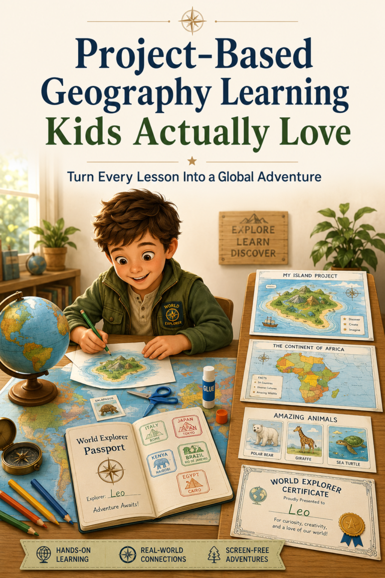
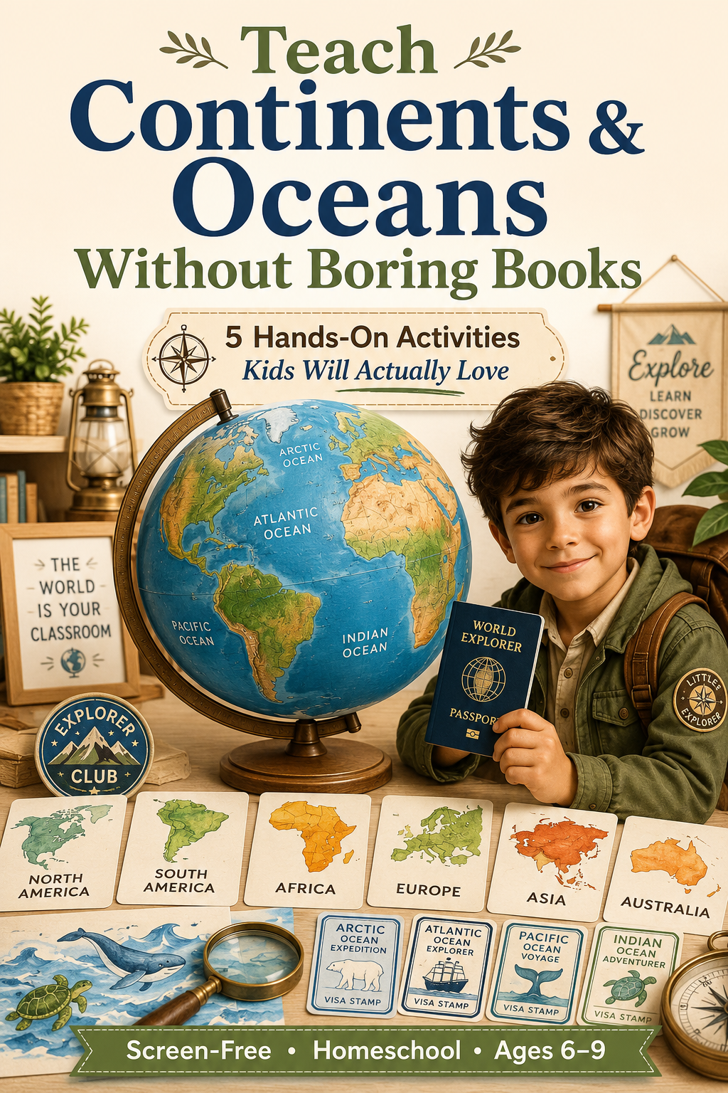
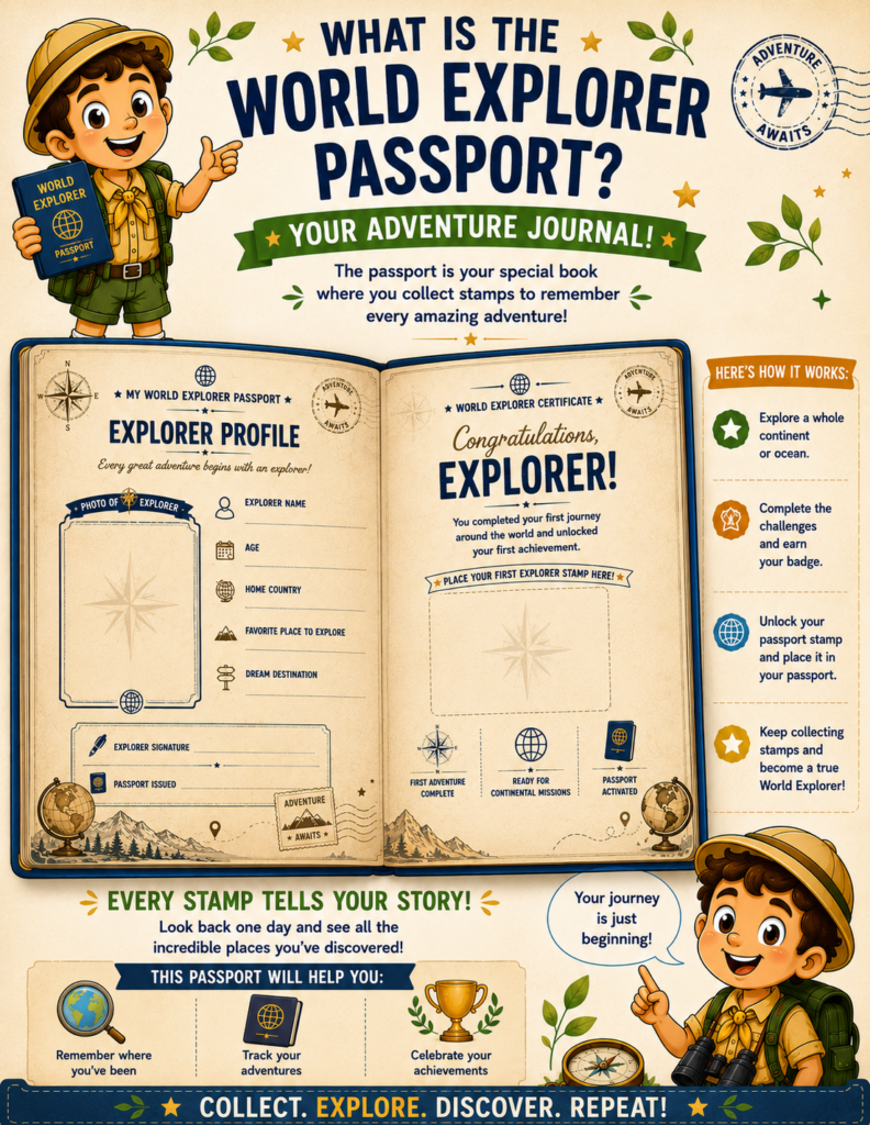
- The Setup: Provide your child with an official «Explorer Profile» and a physical passport booklet.
- The Activity: Every time your child identifies a continent, traces an ocean current, or completes a tactile mapping puzzle, they don’t get a letter grade. Instead, they earn a colorful, cut-out badge or an official «Visa Stamp» to glue directly into their journal.
- Why It Works: Collectible milestones shift motivation from external pressure (parental nagging) to internal pride. They stop doing «schoolwork» and proudly step into the identity of a World Explorer. (Learn more about this psychological trigger in our breakdown of why kids learn geography better through adventures, collections, and progression.)
Summary Table: Worksheets vs. Tactile Geography
| Feature | Traditional Worksheets | Tactile & Gamified Geography |
| Learning Mode | Passive reading and memorizing labels. | Active sculpting, jumping, and mapping. |
| Spatial Awareness | Flat, distorted 2D perspective. | Physical 3D movement and spatial orientation. |
| Subject Integration | Isolated geography facts. | Blended earth science, biology, and sensory play. |
| Student Motivation | External (avoiding bad grades or nagging). | Internal (collecting badges and earning stamps). |
| Parent Prep Time | High (searching, printing, grading). | Zero Prep (with open-and-go activity books!). |
Meet Your Zero-Prep Secret Weapon: The World Explorer Series
If you love the philosophy of tactile, gamified geography but simply do not have the hours required to sculpt clay maps, cut out animal cards, or design lesson plans after a busy workday, there is a ready-to-use ecosystem crafted specifically for your homeschool.
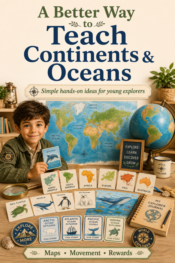
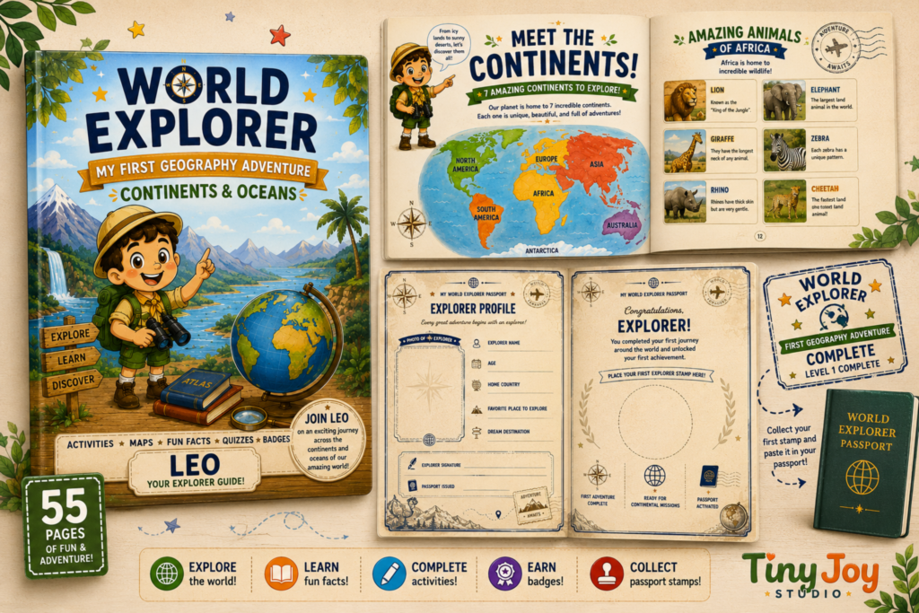
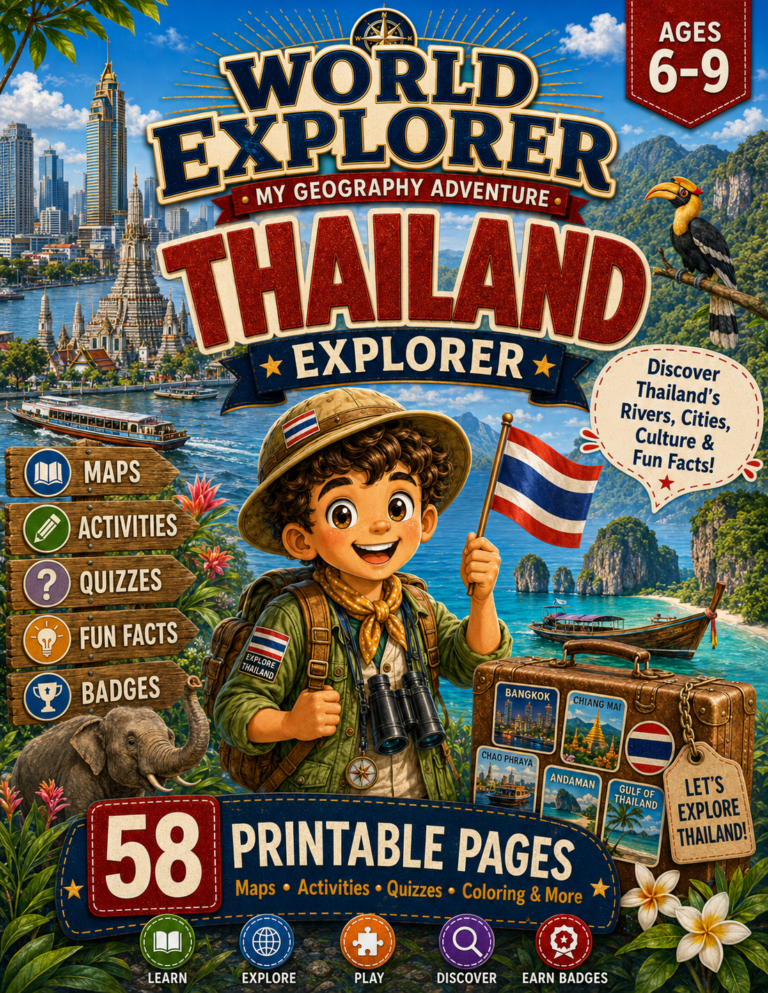
Enter Level 1: Continents & Oceans, the foundational activity book from the acclaimed World Explorer Series by Tiny Joy Studio.
Designed specifically for curious 6- to 9-year-olds, this beautifully illustrated curriculum takes the heavy lifting off parents’ shoulders. Led by an enthusiastic cartoon guide named Leo, this book replaces boring textbooks with an interactive, open-and-go voyage across our entire planet.
Why Homeschoolers Love Level 1: Continents & Oceans:
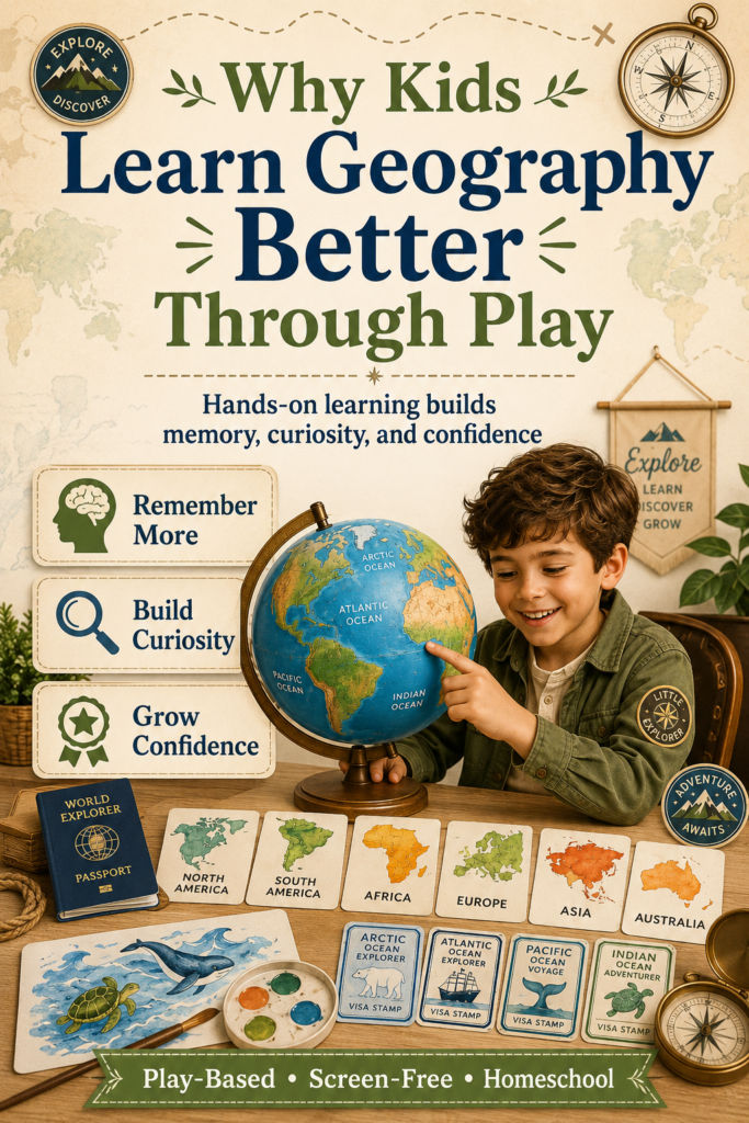
- The Universal Passport Experience: Every foundational book comes bundled with an exclusive, customizable World Explorer Passport. Your child takes ownership of their learning from day one by filling out their explorer profile, recording their age, and drawing their self-portrait.
- A 3-Level Collectible Ecosystem: The Universal Passport features 38 dedicated slots structured to grow with your child across the entire school year:
- Level 1 (The Foundation): Mastering global earth science, tectonic plates, ocean currents, and major landmasses with the Continents & Oceans Activity Book.
- Level 2 (The Continents): Earning 8 Continental & Ocean Visas by exploring regional ecosystems in depth.
- Level 3 (The Countries): Earning 30 individual Country Visas by zooming in on specific cultures, landmarks, and traditions!
- Tactile, Earned Rewards: Rather than filling in boring bubbles on a worksheet, children navigate iceberg mazes in Antarctica, decode ocean currents, and solve spatial mapping puzzles. As they master each section, they use scissors and glue to cut out official Badges and Visa Stamps, pasting them directly into their Universal Passport.
- Print-on-Demand Simplicity: Available directly via Etsy as high-resolution digital printables, you can print exactly what you need, when you need it. If you have multiple children, buy the file once and print multiple passports—no shipping delays, no extra costs, and zero lesson prep!
Final Thoughts: Start Your Global Adventure Today
You do not need to rely on dry textbooks or monotonous worksheets to build a strong foundation in world geography. By embracing tactile play, sensory experiments, and the power of collectible milestones, you can teach continents and oceans in a way that sparks lifelong curiosity.
When you give children autonomy, an engaging guide like Leo, and a physical passport to track their victories, the world transforms from a boring school subject into a limitless playground waiting to be explored.
Ready to transform your geography lessons from boring worksheets into an unforgettable global quest? Grab a box of colored pencils, download your foundational Level 1: Continents & Oceans Activity Book, and set up your child’s very own Universal Passport today directly via the Tiny Joy Studio Etsy Collection. The world is waiting—let’s go explore it!