Vehicles Are Answers to Landscapes: Teaching Global Transport Through Geographic Systems
When elementary children study vehicles, lessons usually stall at simple naming: cars have wheels, boats float on water, and airplanes fly in the sky. But exploring genuine human geography requires asking why an authentic transportation workbook for kids must connect physical terrain to human necessity. This engaging transportation workbook for kids moves beyond basic vehicle identification, showing young learners that machines are engineering solutions designed to solve specific challenges of terrain, distance, and cargo.
Children quickly discover that a solution that keeps a bustling metropolis moving would completely fail in a remote wilderness. A high-capacity subway cannot climb a granite cliff, an 18-wheel tractor-trailer cannot navigate Venetian canals, and a high-speed passenger train cannot deliver emergency medicine to an off-grid Arctic airstrip.

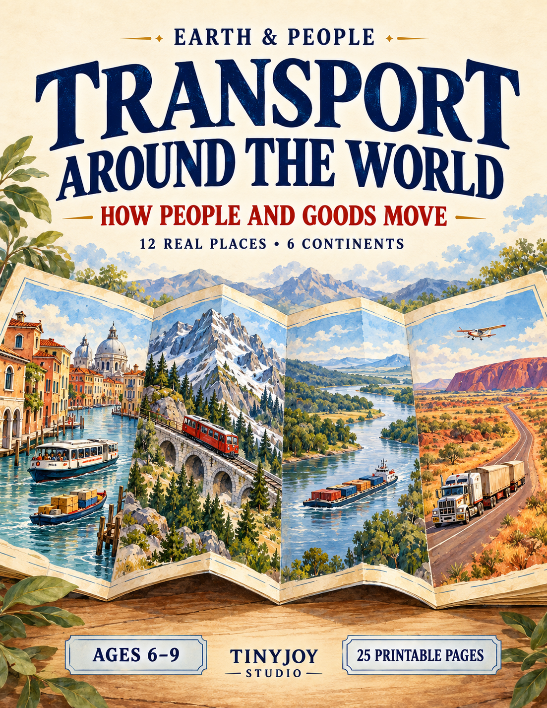
Moving past basic vehicle flashcards requires teaching children to view transport as an interconnected chain: Place, Need, Solution, Effect, while always accounting for the Limit. In Earth & People: Transport Around the World (a 25-page printable unit designed for ages 6–9), students embark on a 12-stop worldwide expedition across six continents to investigate how human communities adapt their mobility to the natural world.

The Architecture of an Infrastructure Chain
Before evaluating complex transit networks, young learners need an analytical framework. Rather than presenting vehicles as standalone objects, the workbook introduces a 5-step investigative chain:
- Place: What physical clues does the environment give (mountains, islands, rivers, crowded streets)?
- Need: Who or what must move, over what distance, and how urgently (people, bulky freight, or both)?
- Solution: Which vehicle type and pathway fit the environment and the task?
- Effect: What can people or businesses actually accomplish now that could not be done before?
- Limit: What physical constraint, weather event, or maintenance need restricts this solution?
Children practice this logic on a divided river town: when a deep waterway separates students from their school, a small passenger ferry provides the solution, allowing children to attend classes daily—provided the river has safe docks and calm waters.
This systemic approach mirrors how life operates in biological systems. Just as plants develop specialized vascular conduits to transport water and sugars according to precise environmental needs—a concept detailed in our Plant Life Cycle Workbook—human societies build specialized transit arteries to move resources wherever life demands them.

Conquering Physical Barriers: Steeps, Straits, and Remote Swamps
As children travel through the workbook’s geographic case studies, they encounter severe physical barriers where standard roads are impossible:
- Steep Incline (Swiss Alps): Ordinary steel wheels on smooth rails lose traction on mountain ascents; a cogwheel train locks into a toothed center rack to climb slopes safely without slipping.
- Open Marine Strait (Cook Strait, New Zealand): A road cannot bridge a stormy sea channel; large roll-on/roll-off ferries link the North and South Islands, carrying passenger cars and commercial freight trucks together across open water.
- Dense Forest and Broad Rivers (Amazon Basin, Brazil): Impassable rainforest terrain and seasonal mud make continuous highways impractical; riverboats turn the Amazon waterway into a natural transit corridor connecting riverside villages with supplies.
Navigating these natural barriers shows young learners that planetary geography dictates human logistics. When studying how equatorial river systems and thick forest canopies regulate terrestrial habitats—as explored in our Tropical Rainforest Workbook—children recognize that waterways serve as vital lifelines through dense wilderness long before highways can be cleared.

Distances and Tonnage: Airplanes, Road Trains, and Barges
Elementary geography often overlooks cargo logistics, focusing almost entirely on passenger cars. Transport Around the World balances human passenger mobility with industrial freight logistics:
- Light Cargo & Remote Access (Alaska, USA): Enormous distances, mountain ranges, and roadless tundra make ground travel impossible; bush planes connect short gravel airstrips, carrying mail, medicine, and critical supplies.
- Heavy Terrestrial Hauling (Australian Outback): Where rail lines are absent across thousands of miles of arid desert highways, multi-trailer «road trains» pull massive loads of livestock, fuel, and mining machinery in a single journey.
- Bulk River Freight (Mississippi River, USA): Agricultural heartlands generate millions of tons of grain and coal; powerful towboats push dozens of lashed cargo barges downriver, moving colossal volumes with high fuel efficiency.
Analyzing these vast transport routes gives children an appreciation of how raw resources link distant communities. This spatial understanding directly enhances geopolitical literacy. As we explored in our review of the Countries and Capitals Workbook, national capitals and major trading hubs were strategically founded along navigable rivers, sheltered harbors, and vital overland corridors to ensure economic survival.

Engineering the Maple Region: The Capstone Planning Mission
Rather than ending with a simple matching test, the workbook challenges students to act as regional transit planners in the «Maple Region» simulation:
- Hilltown: A mountain settlement separated from valley hospitals and schools by a cliff. Students must select a cog railway to handle the steep slope.
- River Farms: An agricultural community that needs to ship bulk autumn grain harvests to an ocean port. Students deploy cargo barges along the deep navigable river.
- Central City: A crowded metropolis where workers and students sit in daily traffic gridlock. Students implement a Bus Rapid Transit (BRT) system using dedicated street lanes.
- The Unused Distractor: A small airplane is intentionally left in the toolkit, teaching children that a vehicle must match the actual constraints of the landscape rather than being chosen simply because it is fast.
This emphasis on structural design matches how aerospace engineers design planetary exploration tools. Just as planetary missions must choose an atmospheric descent probe for Jupiter’s crushing gas layers but a wheeled rover for Mars’ rocky terrain—a design challenge featured in our Solar System Explorer Workbook—civil engineers must select transit technologies that fit the exact physics and geography of their environment.
Practical Integration for Home and Classroom
Because Transport Around the World includes clean map keys, visual clue cards, and full answer keys, it adapts easily to diverse instructional settings:
- Homeschool Geography Block: Complete two pages daily over two weeks, tracking each real-world case study on a bedroom world map or globe.
- Classroom Social Studies Stations: Laminate the city comparison cards (Venice, Lagos, Manila, Buenos Aires) for small-group collaborative problem-solving.
- Screen-Free Critical Thinking: Use the «Benefits and Limits» audit spreads to teach children that every technological solution involves real-world trade-offs.

If you are looking for an educational printable that replaces superficial vehicle coloring with authentic systems thinking, regional map literacy, and engineering logic, Transport Around the World gives young explorers the tools to understand how our living planet stays connected.