Reading Earth as One Living Canvas: A World Landscapes Workbook Bundle for Kids
When elementary children study physical geography, they usually encounter Earth’s terrain as five isolated vocabulary terms. Choosing an integrated world landscapes workbook bundle for kids is the most effective way to help young geographers understand that Earth is not a static museum, but a dynamic, self-renewing physical engine. This hands-on world landscapes workbook bundle for kids unifies five essential environments across 150 printable pages, guiding learners to discover how tectonic collisions, moving water, internal planetary heat, atmospheric rain shadows, and ocean waves work together to shape global terrain.
Standard classroom curricula often isolate landforms into shallow categorization drills. Children memorize the textbook definition of a mountain peak, color a blue line representing a generic river, or fill in a sand dune with yellow crayon. Because these environments are taught in isolation, students miss the systemic causes connecting them. They fail to see that the snow melting on high mountain peaks forms the headwaters of regional river basins, that volcanic ash creates the mineral-rich soils of nearby coastal valleys, or that towering coastal mountain ranges block maritime moisture to generate rain-shadow deserts inland.
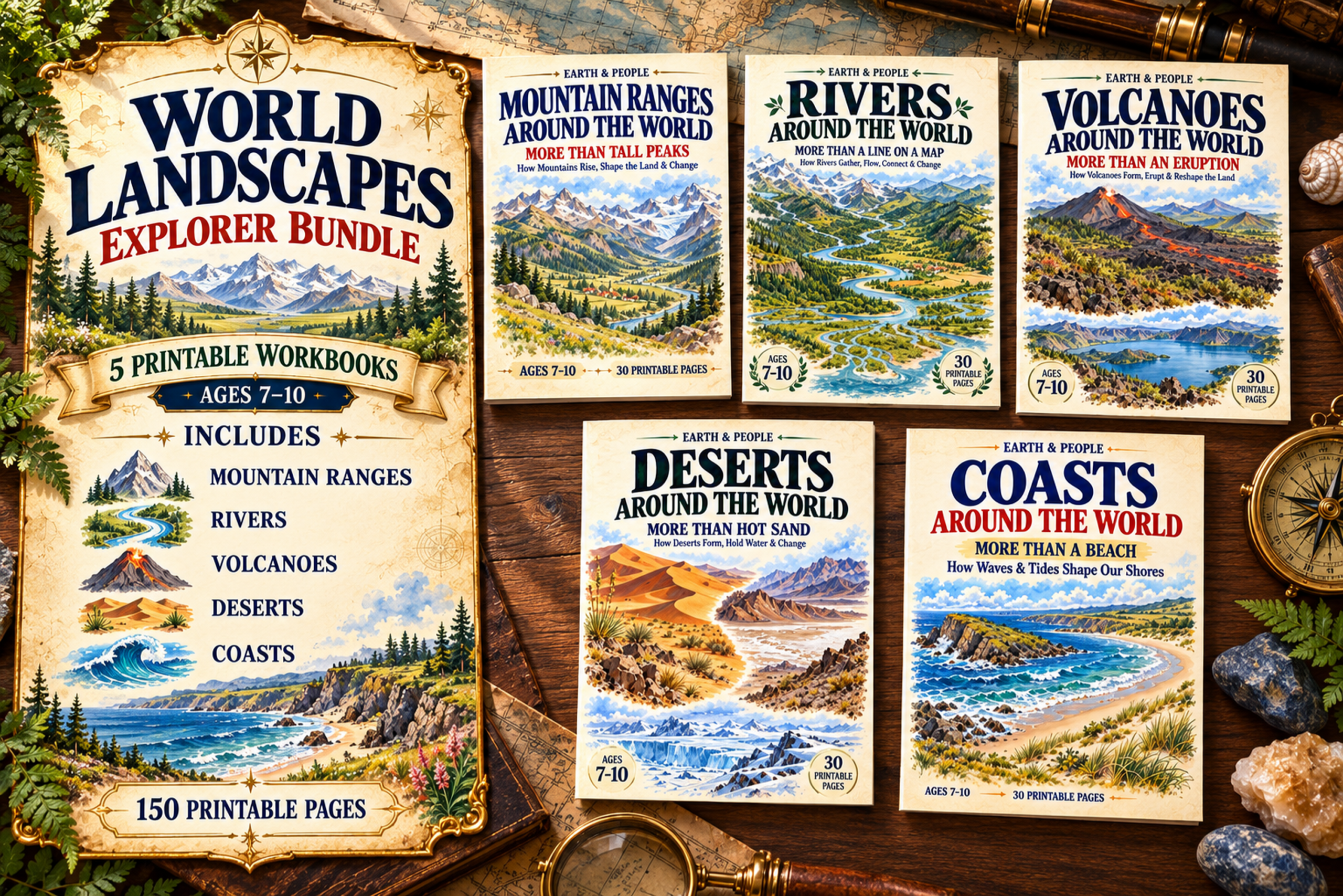
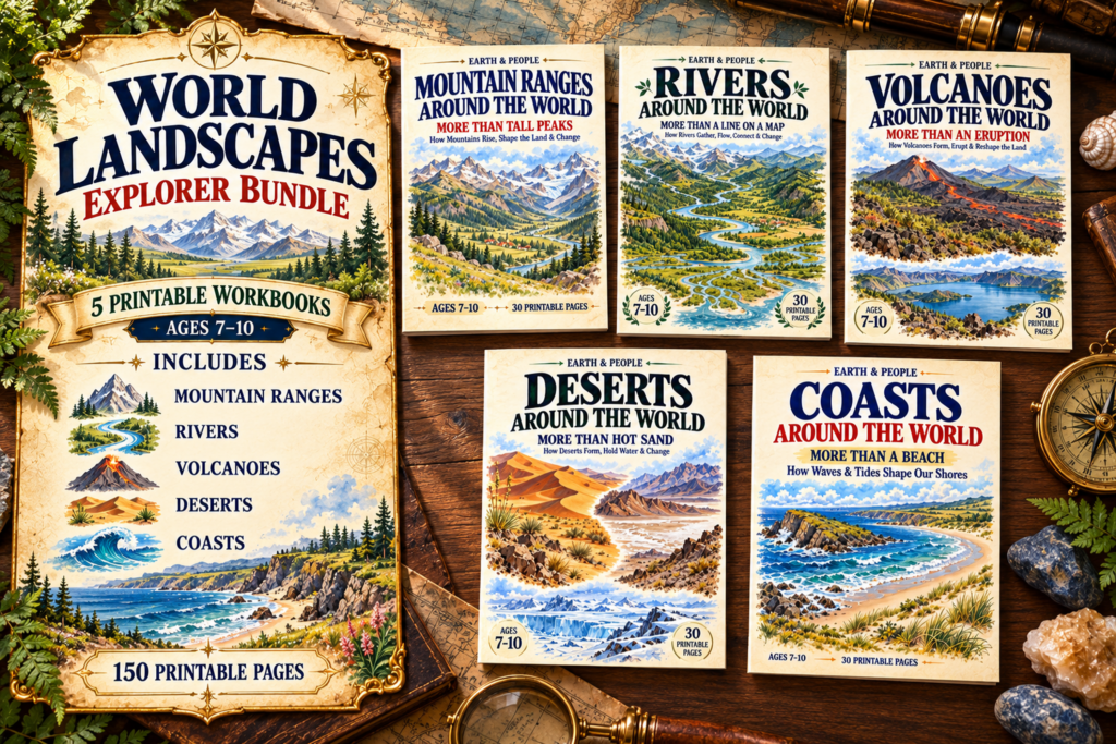
The World Landscapes Explorer Bundle (a 5-workbook printable collection for ages 7–10 by TinyJoy Studio) shifts the focus from passive memorization to authentic systems thinking. Across five core field modules—Mountain Ranges, Rivers, Volcanoes, Deserts, and Coasts—young scientists use diagnostic tools, cross-sectional maps, and real-world field evidence to decode Earth’s living geology.
1. Mountain Ranges: Escaping the Peak Trap
The journey begins in the high country, where children quickly confront the classic «peak trap». When asked to draw a mountain, young learners almost always draw a single, pointy triangular peak capped with white snow.
In Mountain Ranges Around the World: More Than Tall Peaks, students learn to distinguish between elevation above sea level and actual local relief rise. A high plateau might sit thousands of meters above sea level with virtually no local rise, while a rugged ridge can tower dramatically over its neighboring valley. By matching concentric contour lines to side-view elevation cross-sections, learners discover how two-dimensional topographic maps depict real three-dimensional slopes. As detailed in our comprehensive guide to the Mountain Ranges Workbook, students analyze tectonic plate compression, examine marine fossils uplifted into Himalayan peaks, and investigate how high snowpack acts as a frozen seasonal reservoir feeding lower valleys.

2. Rivers: Watersheds Over Blue Lines
As mountain snow melts and gravity pulls water downward, the terrain flows directly into hydrological systems. Standard school printables often reinforce the «blue line trap,» portraying rivers as isolated, winding lines on a flat map without explaining where the water came from.
Rivers Around the World: More Than a Line on a Map changes this perspective by teaching students to think in watersheds. Young geographers learn that a river basin acts like the rim of a gigantic landscape bowl, where high mountain ridgelines divide rainfall into opposing drainage networks. They explore the physics of moving water—discovering that a swift rocky stream does not necessarily deliver more total water volume than a sluggish, wide-channel river. For a deeper breakdown of flow pulses, drainage divides, and sediment transport, review our article on the Rivers Workbook.

3. Volcanoes: Internal Heat and Dynamic Landforms
Beneath the carved river channels and uplifted ranges lies the internal heat engine of the planet. Classroom units frequently reduce volcanology to pouring vinegar into red baking soda cones, completely bypassing the actual physics of plate tectonics and magma behavior.
Volcanoes Around the World: More Than an Eruption teaches children to look at magma viscosity. Students investigate why thin, low-silica basaltic lava builds broad, gently sloping shield volcanoes like Mauna Loa, while sticky, gas-trapping magma violently builds steep composite cones like Mount St. Helens. They track volcanic hazard zones, examine global climate cooling triggered by high-altitude sulfur aerosols, and trace biological primary succession on freshly hardened basalt. Explore the complete pedagogical approach in our dedicated Volcano Workbook review.

4. Deserts: Rain Shadows and Hidden Moisture
Just as internal volcanic forces reshape surface rock, atmospheric circulation patterns govern the aridity of the land above. Children typically imagine deserts as vast expanses of scorching yellow sand dunes populated solely by camels.
Deserts Around the World: More Than Hot Sand shatters this narrow view by framing deserts around a strict physical metric: precipitation deficit. Learners discover that freezing polar plateaus qualify as true deserts because of minimal annual snowfall. By tracing air masses rising over windward mountain slopes—dropping their moisture before descending as warm, parched air on the leeward side—students connect tectonic barriers directly to arid geography. As highlighted in our feature on the Deserts Workbook, children investigate underground water tables, alluvial fans, and unique desert hydrology.

5. Coasts: Waves, Tides, and Shifting Shores
Where land finally terminates at the global ocean, students discover how hydrodynamics continuously redesign the edge of the continents. Most children envision a coast merely as a sandy swimming beach, unaware of the immense variety of marine boundaries.
In Coasts Around the World: More Than a Beach, young investigators evaluate nine global shorelines—from sheer limestone cliffs and sheltered mud flats to tangled mangrove wetlands. Children learn to distinguish between high-frequency breaking waves that hammer rock within seconds and the slow, six-hour gravitational pull of ocean tides that flood and drain the intertidal zone. They track sediment budgets, discovering that sand pulled away during winter storms does not disappear, but shifts into offshore submerged bars ready to return during gentle summer swells. To explore how wave energy and tidal ranges sculpt coastlines, read our full article on the Coasts Workbook.

A Ready-to-Print Geography and Science Curriculum
Because every workbook in the bundle features self-contained diagrammatic models, scaffolded evidence cards, and complete answer keys, it adapts effortlessly into various instructional routines:

- A Full-Semester Physical Geography Course: Work through one workbook every 3–4 weeks for a thorough, screen-free exploration of Earth’s landforms.
- Cross-Curricular Earth Science Modules: Integrate individual titles alongside natural events—such as pairing Volcanoes with plate tectonic studies or Coasts with ocean tide tracking.
- Collaborative Inquiry Stations: Laminate model repair challenges (such as fixing a broken river basin or auditing a flawed coastal cross-section) for small-group problem-solving.
If you are looking for an educational resource that replaces superficial coloring sheets with genuine topographic reading, geological deduction, and systems-based earth science, the World Landscapes Explorer Bundle gives elementary learners a comprehensive, structured foundation to read our living planet from the inside out.