The Ultimate Map Skills for Kids: How to Teach Navigation, Scale, and Coordinates Without Tears
When introducing geography to elementary students, it is easy to default to coloring continents and memorizing country names. But before a child can truly understand the world, they need to master the foundational language of cartography: how to read, interpret, and create maps.
For children ages 7 to 10, understanding how a compass rose points north, how a scale bar translates centimeters into real-world kilometers, and how contour lines represent steep mountains transforms a flat piece of paper into an interactive 3D world. However, finding cohesive, engaging map skills for kids that balance spatial logic with fun, hands-on puzzles can be a challenge for busy parents.
If you want to move beyond dry textbook drills and empower your child to think like a professional cartographer, we have the ultimate «open-and-go» solution.
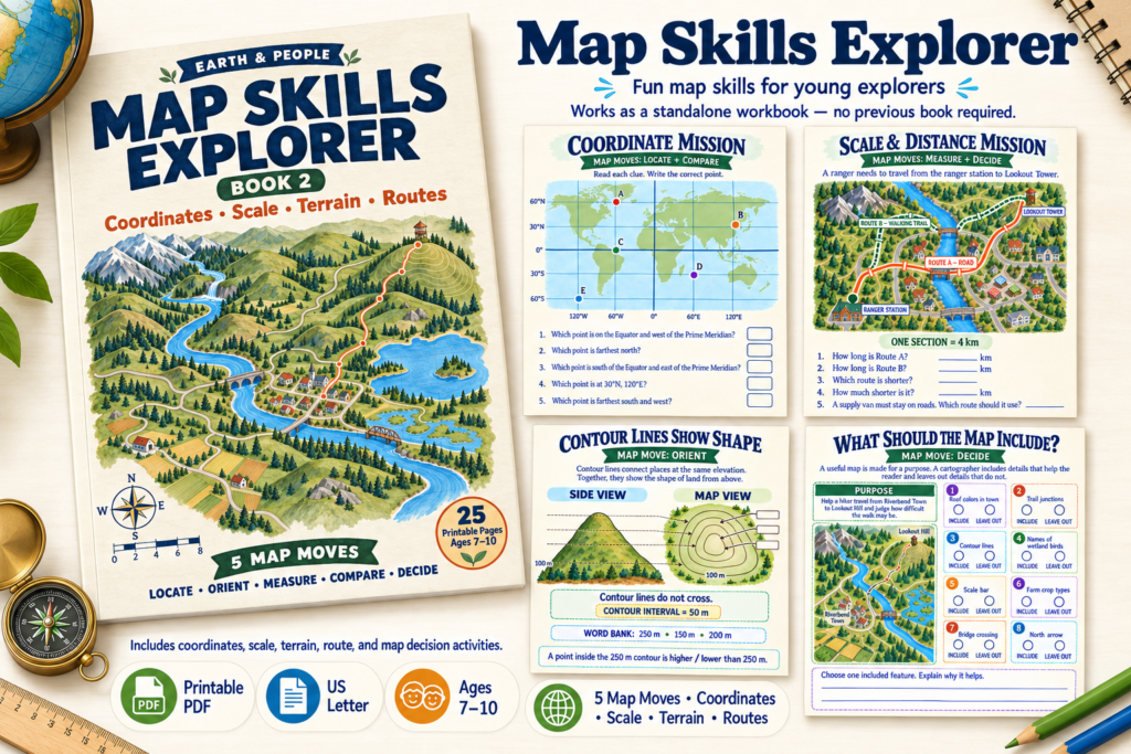
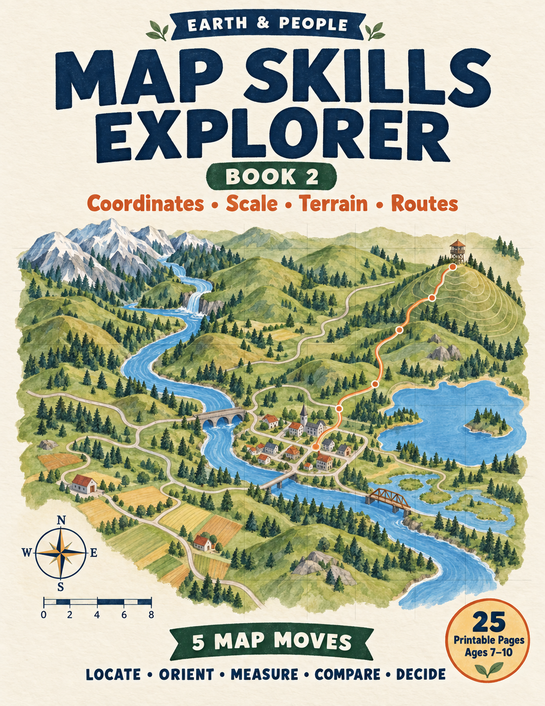
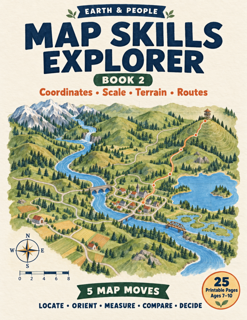
Meet Your Guide: Map Skills Explorer Book 2
Instead of overwhelming young minds with complex surveying math, the Map Skills Explorer Book 2: Coordinates, Scale, Terrain & Routes activity book invites your child on a structured navigational expedition.
Designed specifically for curious minds, this workbook acts as a junior cartographer’s toolkit, teaching kids to navigate their environment using Five Map Moves: Locate, Orient, Measure, Compare, and Decide. Let’s explore the hands-on missions your child will complete on their journey!
1. Mastering Direction and Grids
Every great explorer needs to know where they are and which way they are heading.
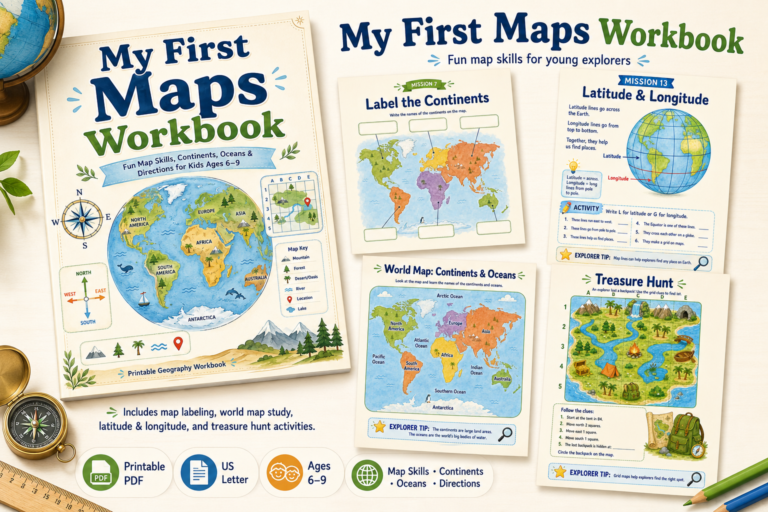
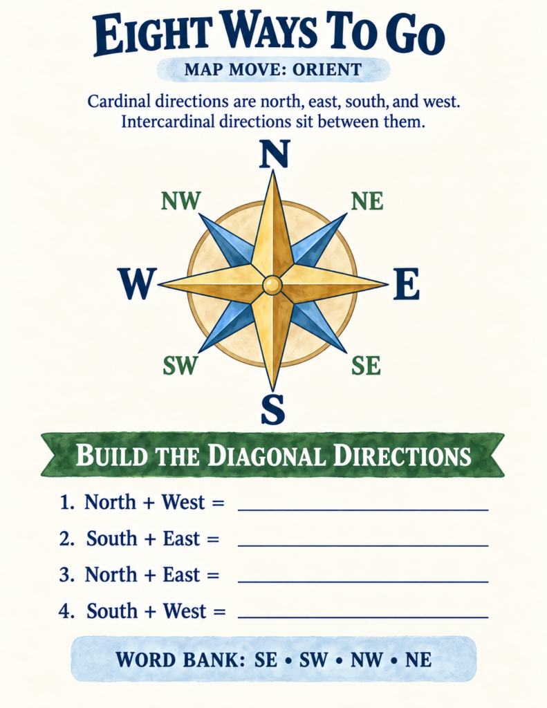
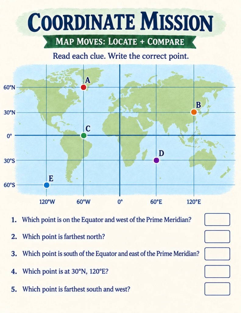
- What’s Inside the Book: Kids dive into cardinal and intercardinal directions (North, South, East, West, NW, NE, SW, SE) through the «Direction Detective» challenge. They also learn alphanumeric grid systems, tracking routes square by square from a school to a clinic, and even tackle global latitude and longitude coordinates on a world map.
- How to Bring It to Life at Home: Grab a local neighborhood map or create a simple grid of your living room. Give your child a set of directional clues («Take 3 steps North, turn East, and locate the couch») to turn spatial awareness into a living game. Connecting visual puzzles with physical movement is a fantastic way to prevent summer slide and keep kids actively thinking.
2. Scale and Distance: Measuring the Real World
How does a massive forest fit onto a tiny sheet of paper? Through the magic of scale!
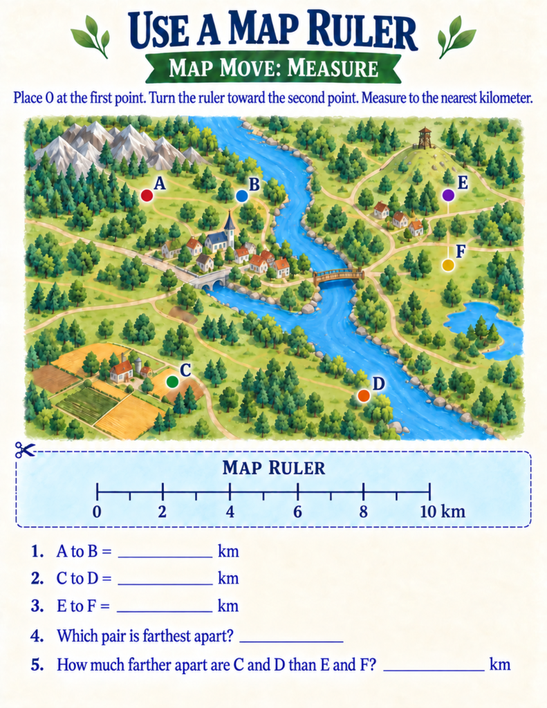
- What’s Inside the Book: Young cartographers discover how a scale bar works, practicing with a paper «Map Ruler» to measure real-world distances between towns, lakes, and lookout towers. They also learn the crucial difference between straight-line bird-flight distance and actual road route distances.
3. Terrain and Topography: Reading Contour Lines
Flat maps are helpful, but our Earth is packed with towering mountains, deep valleys, and rolling hills.
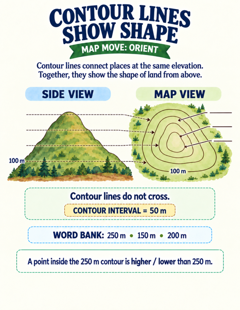
- What’s Inside the Book: Children explore elevation and contour lines, learning how closely spaced lines mean steep cliffs while widely spaced lines indicate gentle slopes. Through thematic map layers, they compare rainfall, land use, and physical height to make critical decisions—like where to safely build a new trail shelter in the fictional Riverbend Region.
- How to Bring It to Life at Home: This perfectly demonstrates why project-based learning is essential! Grab some playdough or layers of cardboard and challenge your kids to build a 3D model of a hill, then draw the matching contour lines from an overhead view.
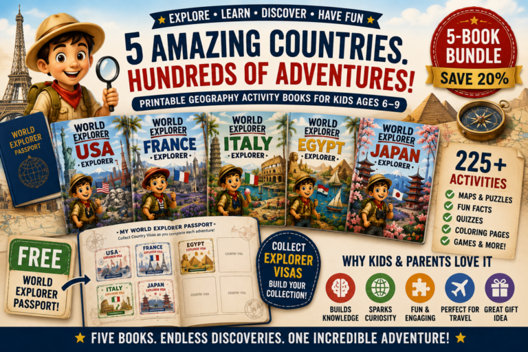
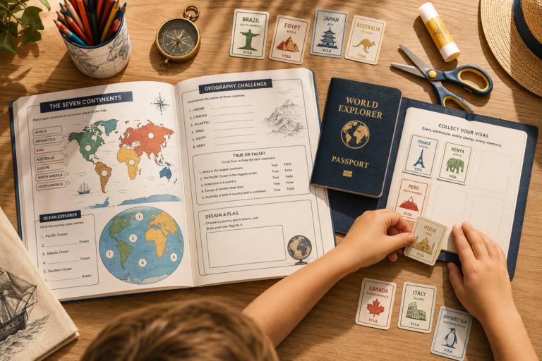
The Secret to Motivation: The World Explorer Series
Even with the most fascinating spatial puzzles, young learners need a sense of direction and reward to stay focused. The secret to keeping them hooked until the final page is gamification in education.
Throughout the book, your child isn’t just passively answering questions; they are analyzing thematic map layers, acting as trail rangers, and quality-checking flawed visitor maps to ensure safety.
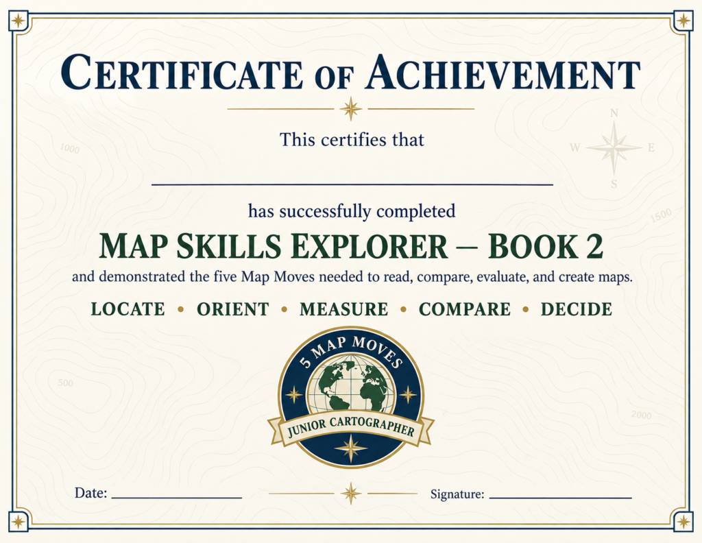
Once they complete their cartographic expedition, they earn an official Junior Cartographer Certificate of Achievement, stepping away with professional-grade spatial reasoning skills and absolute confidence in reading any map thrown their way!
Are you ready to transform how your child navigates the world around them? Grab your pencils, print the workbook at home, and let the mapping expedition begin!