A River Is Not a Line on a Map: Teaching Hydrology and Watersheds Through Systems Thinking
Trace a child’s finger along a world atlas, and a river will inevitably look like a solitary, static blue ribbon meandering toward the ocean. Introducing young learners to a thoughtfully designed rivers workbook for kids is the most effective way to replace that two-dimensional line with dynamic systems science. This hands-on rivers workbook for kids guides students to discover that a river is not just a visible channel, but an entire moving circulatory system powered by gravitational slopes, sprawling drainage basins, and complex seasonal rhythms.
Standard elementary worksheets frequently reinforce the «blue line trap». Classroom printables often isolate a single river path, prompting students to memorize lengths and capital cities along its banks without explaining where all that water originated. Children end up believing that rivers exist independently of the surrounding landscape, unaware that a river is only as healthy, full, or turbulent as the entire catchment basin feeding into it.

In Earth & People: Rivers Around the World — More Than a Line on a Map (a 30-page printable workbook designed for ages 7–10), young hydrologists investigate global waters through five core analytical lenses: Source (where the water begins), Basin (what land drains into the river), Flow (how the water moves), Connection (what the river connects), and Change (how the system varies over time).

The Land That Feeds a River: Thinking in Watersheds
Scientific hydrology begins when children learn to look beyond the riverbank to the high ridgelines that frame the landscape.
On the foundational «The Land That Feeds a River» spread, students investigate drainage basins:
- A river basin functions like the rim of an immense, landscape-scale bowl.
- High mountain crests and ridges form a natural drainage divide.
- Rain falling on one side of a ridge flows into one river network, while raindrops falling just meters away on the opposite slope join an entirely different system.
Children trace raindrops labeled A through E across mountainous terrain, discovering why every creek, hillside run, and underground seepage path belongs to a shared hydrological address.
This continuous gathering of microscopic inputs mirrors how living organisms sustain complex internal flow. Just as vascular plants depend on thousands of microscopic root hairs absorbing soil moisture across wide surface areas to feed central transport conduits—as detailed in our Plant Life Cycle Workbook—a major river system depends on countless tiny headwater streams gathering precipitation across an enormous regional basin.

Speed Versus Discharge: Dissecting the Flow
A frequent misconception among elementary students is assuming that swift, splashing white water always contains more water than a sluggish, wide plain river.
The workbook tackles this directly in the «Fast Water Is Not Always More Water» investigation:
- Speed: Measures how fast water travels past a point (represented by arrows showing rapid velocity in narrow mountain Stream K).
- Discharge: Measures the total volume of water passing a checkpoint in a set amount of time (represented by 12 water units moving steadily through deep, wide River M).
Children evaluate the two stream cross-sections and discover that a calm, broad river can carry far greater volumes of water than a rushing mountain torrent.
This quantitative distinction prepares students for global comparisons. On page 11, young researchers confront the classic river rivalry: the Nile versus the Amazon. While the Nile edges out the Amazon in total linear route length, the Amazon commands a drainage basin roughly twice as large and receives immense equatorial rainfall. As a result, the Amazon carries many times more water to the sea, proving that «longest» does not mean «largest».

The Rivers That Defy the Rules
Rather than presenting river journeys as uniform conveyor belts that always begin in snow and dump into the sea, Rivers Around the World explores the planet’s most fascinating hydrological exceptions:
- Rain from Far Away (The Nile): Students track how monsoon rains falling thousands of miles upstream in the Ethiopian Highlands and equatorial lakes allow the Nile to flow vigorously across the hyper-arid Sahara Desert where almost no local rain falls.
- The Reversing River (Tonlé Sap & The Mekong): In Southeast Asia, children examine how monsoon pulses swell the Mekong River so dramatically during the wet season that it pushes water backward up the Tonlé Sap River, quadrupling the size of Tonlé Sap Lake before draining back into the Mekong when the dry season arrives.
- The River That Ends Inland (The Okavango): Instead of terminating in an ocean, the Okavango River flows from rainy Angolan highlands straight into Botswana’s arid Kalahari Basin, spreading into a colossal inland wetland delta where water evaporates into dry air or sinks into desert sands.
- The Uneven Spring Thaw (The Lena): In Siberia, children investigate ice jams created because the Lena flows northward toward the Arctic Ocean; warm southern upstream sections thaw first, sending surging water slamming into still-frozen northern ice barriers.
Investigating these regional adaptations demonstrates that natural water systems dictate how human societies organize trade, food, and urban centers. When children study how international boundaries and historic capitals were established along navigable waterways—as explored in our Countries and Capitals Workbook—they see why shared rivers like the Danube, which connects ten distinct nations, require international collaboration on pollution and flood management.

Environmental Pulses and Seasonal Rhythms
A river is never a static snapshot; its personality transforms with the seasons. In the Australian Murray-Darling Basin, children compare satellite-style records from wet and dry years, discovering that wetlands expand, contract, and occasionally disconnect into chains of isolated pools.
On page 17, students calculate a «Water Budget» for the Colorado River, tracking how dams, municipal diversions, farm irrigation, and intense reservoir evaporation remove water until the riverbed completely dries up before reaching the Gulf of California.
These hydrological cycles show children that our planet operates through recurring rhythms. Just as human communities align their calendar traditions and agricultural gatherings with seasonal river floods and celestial solstices—traditions analyzed in our guide to the Festivals Around the World Workbook—river flow rhythms reflect the planetary pulse of melting snowpacks and monsoon rains.
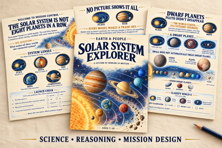
Furthermore, understanding how gravity drives water downward from high continental divides to ocean basins mirrors the celestial physics that guide planetary paths. As explored in our Solar System Explorer Workbook, gravitational pull governs orbital mechanics in space just as it inexorably pulls every raindrop downhill through intricate river tributaries.

Practical Implementation for Home and Classroom
Because Rivers Around the World features self-contained case files, guided evidence prompts, and an exhaustive answer key, it integrates seamlessly into various learning environments:
- Homeschool Physical Geography Unit: Complete two pages daily over three weeks for a comprehensive study combining cartography, environmental science, and earth systems.
- Collaborative Science Stations: Set up laminated copies of «Repair a Broken River System» (page 26) where students audit five intentional errors across sources, basin boundaries, and flow arrows.
- Capstone STEM Cartography: In the final «Build a River System» mission (pages 27–28), students synthesize the entire unit by designing their own realistic river basin on a blank topographic template, placing divides, downhill flow vectors, and seasonal floodplains, then defending their model under an experimental «Storm Test».
If you are looking for an educational printable that replaces passive river coloring with genuine watershed literacy, velocity-discharge mechanics, and authentic environmental modeling, Rivers Around the World gives your young explorer the tools to see our planet’s flowing arteries with scientific clarity.